
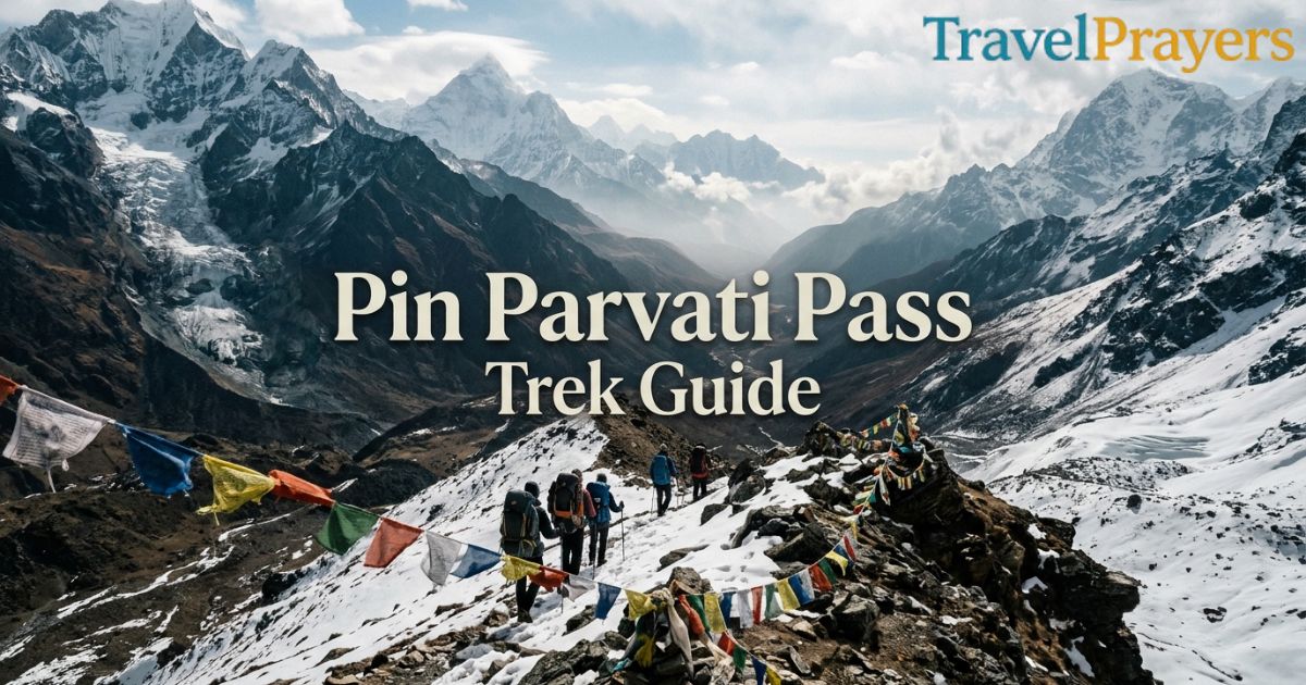
The Pin Parvati Pass trek crosses a 5,319 m (about 17,450 ft) glacier pass. It links the green Parvati Valley in Kullu to the dry, cold-desert Pin Valley in Spiti. Most groups walk from Barshaini to Mud in 9 to 11 days and then drive to Kaza. The season runs from late June to September. Operator packages usually cost tens of thousands of rupees per person. This Pin Parvati Pass Trek Guide covers the route, a day-by-day plan, altitude, river crossings, permits, return options and the main safety limits. It is a serious high-altitude crossing, so read the “Is it right for you?” section before you book.
Pin Parvati Pass Trek at a Glance
| Detail | Information |
| Region | Himachal Pradesh (Kullu to Spiti) |
| Start point | Barshaini, near Kasol (Parvati Valley) |
| End point | Mud village, Pin Valley, then Kaza by road |
| Highest point | Pin Parvati Pass, about 5,319 m (17,450 ft) |
| Duration | 9–11 trek days on most schedules |
| Difficulty | Hard |
| Best season | Late June to September |
| Terrain | Forest, river valley, moraine, glacier, high desert |
| Parks crossed | Great Himalayan National Park side and Pin Valley National Park side |
Operators publish slightly different altitudes and day counts. Treat these figures as a reliable range, not a fixed rule.
What Makes the Pin Parvati Pass Trek Special?
Few Indian treks change the landscape this much in one walk. You start under pine and deodar forest with the Parvati River beside you. You finish among barren brown slopes, with Mud’s small fields in front of you.
The culture shifts too. The Kullu side is Hindu, with places like Kheerganga and Pandu Pul tied to local stories. The Spiti side is Buddhist, with prayer flags and monasteries a short drive from the trail’s end.
Two landmarks stand out. Mantalai Lake is the source of the Parvati River and has a small Shiva shrine. Pandu Pul is a natural bridge of huge boulders over the river. Locals link its name to the Pandavas.
The trek is also remote. Mobile signal is poor for most of the route. Many trekkers like that, but it also raises the stakes if something goes wrong.
Pin Parvati Pass Trek Route
The classic route runs from west to east, from Kullu into Spiti:
- Barshaini (roadhead near Kasol)
- Kheerganga, then up the Parvati Valley
- Tunda Bhuj and Thakur Kuan, the main campsites below the treeline
- Pandu Pul and Ody Thach
- Mantalai Lake
- Pin Parvati Pass base camp
- Pin Parvati Pass (5,319 m)
- Wichkurung Thatch, the main campsite on the Spiti side
- Mud village, the end of the trail
- Kaza, the main town in Spiti, by road
The trail follows the Parvati River for the first half. The route gets steeper and rockier after Mantalai. You then cross the glacier and drop into the Pin Valley, which is wide, open and dry.
Some operators reverse the route, starting from Mud. Going from Mud to Barshaini means you reach the pass earlier and sleep higher sooner, with less time to adapt. The Barshaini start is the more gradual option.
Best Time to Do the Pin Parvati Pass Trek
The best time for the Pin Parvati Pass trek is late June to September. July to early September is the most common window.
- Late June to early July: Snow still covers the upper route. The glacier approach is easier to read, and the Parvati side is greener. River levels are rising.
- July to August: Monsoon rain affects the Parvati side. The Spiti side stays far drier. Clouds and sudden rain can slow the passing day.
- September: Skies are often clearer and the air is colder. Late-season snow is possible on the pass.
- October onward: Early snowfall can close routes. Kunzum La, on the road back to Manali, can also close, so plan this month with extreme care.
The Manali–Kaza road usually opens between mid-May and early June and closes in October. Check its status before you commit to a return plan.
It is November now, so the 2026 season has ended. If you want to trek in 2027, book your operator in spring and train through winter.
Is the Pin Parvati Pass Trek Right for You?
This trek suits experienced mountain walkers. The Great Himalayan National Park says the pass needs excellent health and trekking experience. It also calls for snow-walking and orientation skills. You can read its guidance on the official GHNP fees, rules and guidelines page.
Ask yourself these questions:
- Have you completed a trek above 4,000 m before?
- Can you walk 6–9 hours a day with a loaded daypack for a week or more?
- Are you comfortable on snow and loose rock?
- Do you have a doctor’s clearance for high altitude?
If most answers are no, build experience first. Treks such as Hampta Pass are a good step up. Beginners should not attempt Pin Parvati as a first Himalayan trek.
It also helps to be comfortable with discomfort. Expect cold nights, basic camps, few washing facilities and long days.
Pin Parvati Pass Trek Itinerary
Most operators run a 10-day plan. Some add acclimatization or buffer days, which makes the schedule 11–16 days. This sample matches the common pattern. Camp altitudes in published itineraries vary by source, so treat them as approximate.
Day 1: Barshaini to Kheerganga (about 2,700 m). A short climb through the forest, usually 3–4 hours. This is your first night on the trail.
Day 2: Kheerganga to Tunda Bhuj (about 3,200 m). You follow the river and leave the busy tourist area behind.
Day 3: Tunda Bhuj to Thakur Kuan (about 3,500 m). The forest thins out and the valley opens up.
Day 4: Thakur Kuan to Ody Thach (about 3,600 m). This is a tricky stretch. You cross the Pandu Pul area and several stream crossings.
Day 5: Ody Thach to Mantalai (about 4,000 m). A long day with ridge climbs and moraine. You camp near the lake.
Day 6: Mantalai to Pin Parvati Pass base camp (about 4,300–4,500 m). A shorter, steeper day on rock and snow. Rest well. The next day is the hardest.
Day 7: Base camp to the pass (5,319 m) and down to the Spiti side. Groups leave between 2:00 and 5:00 a.m. to cross the glacier on firm snow. The day often lasts 8–12 hours.
Day 8: Pin side camp to Wichkurung Thatch. The descent continues into the Pin Valley.
Day 9: Wichkurung Thatch to Mud (about 3,600–3,850 m). A long walk along the river to the roadhead.
Day 10: Mud to Kaza. A drive of about 50 km, then rest.
Build in at least one spare day. Weather, snow conditions and river levels can change the plan.
Pin Parvati Pass Trek Altitude & Acclimatization
The route climbs from roughly 2,100 m near Barshaini to 5,319 m at the pass. Most of the gain happens in the first six days.
Acclimatization is the main safety factor. Follow these rules:
- Spend a night in Manali (about 2,050 m) before you start.
- Walk slowly and drink plenty of water.
- Do not skip rest days or “make up time.”
- Stop climbing if you have a persistent headache, nausea or confusion.
- Talk to a doctor before the trek about altitude medication.
Symptoms of acute mountain sickness (AMS) can get worse quickly. The only reliable treatment is to descend. Tell your guide about any symptoms early.
Technical Sections & River Crossings

Does Pin Parvati involve snow or glacial terrain? Yes. The final climb to the pass crosses a glacier. Crevasses, soft snow and ice can appear, depending on the season.
Here is what to expect:
- Glacier and snow climb: Guides usually fix ropes where needed. Ask your operator whether it supplies crampons, ice axes and ropes, and who carries them.
- Moraine and scree: Loose rock on both sides of the pass slows you down and tires your knees.
- River crossings: The Parvati side has several, including the stretch near Pandu Pul. Streams swell in the afternoon on warm days, so crossings are usually safer in the morning.
- Exposure: Some narrow sections along the river need careful footing.
Trekking poles help on screen and when crossing water. Waterproof boots and gaiters help with wet feet.
How to Reach the Pin Parvati Pass Trek
Barshaini is the usual start. It sits at the end of the Parvati Valley road, beyond Kasol. The nearest airport is Kullu–Manali Airport at Bhuntar, about 30–35 km from Barshaini. From Bhuntar you can take a taxi or bus.
Manali has the last reliable ATM before the trek. Withdraw cash there.
Delhi or Chandigarh to Manali
From Delhi: Manali is roughly 510–530 km away. The drive takes 12–13 hours. Most trekkers take an overnight Volvo bus.
From Chandigarh: Manali is roughly 300 km away. Allow 8–9 hours by road.
From Manali, Barshaini is about 3–4 hours by road. Many operators include this transfer, so confirm your meeting point and time.
How Do You Get Back After the Trek?
The trail ends at Mud. From there you have two practical options.
Mud to Kaza. Kaza is about 50 km away and the drive takes roughly 1.5–2 hours. A daily state bus runs between Kaza and Mud, with the Mud-to-Kaza bus leaving early in the morning. Timings change, so confirm locally. Most groups pre-book a taxi. Private day-trip taxis in this area have often cost around ₹3,000–4,000.
Kaza to Manali. The route goes through Losar, Kunzum La and the Atal Tunnel. It covers roughly 180–200 km and usually takes 8–10 hours. Conditions at Batal and Gramphu can slow you down. The road is open only in the summer season.
Another return option is Kaza to Tabo, Kinnaur and Shimla. It is longer but avoids Kunzum La.
Add a night in Kaza before the long drive. It also gives you time to visit Ki Monastery.
Pin Parvati Pass Trek Cost
Pricing depends on the operator, group size, route direction and number of days. A published guide from 2023 put typical Indian operator prices at ₹25,000–40,000 per person. Prices have likely risen since, and some international operators charge much more. Ask for a current written quote.
A fair package usually covers:
- Guide, cook and support staff
- Porters or mules for group equipment
- Tents, sleeping mats and mess tent
- Meals on the trek
- Technical gear for the glacier (confirm this)
- Forest permits and fees
- Transport between agreed points
Check what is not included:
- Travel to Manali
- Hotel nights in Manali and Kaza
- Personal gear rentals
- Travel insurance
- GST (one operator lists 5%)
- Extra costs if weather or road closures change the plan
Budget a buffer for delays. Cheaper offers often cut safety gear, guide experience or contingency days. Ask about these before you compare prices.
Permits and Local Rules for Pin Parvati Pass Trek
The route passes through the Great Himalayan National Park and Pin Valley National Park, so you need forest-department permission. Most operators arrange permits for you.
Fees change, and different sources give different amounts. One local operator lists daily Great Himalayan National Park fees of ₹400 for Indians and ₹800 for foreign nationals, plus a per-tent charge. Treat these as examples, not official rates. For current rules, check the Great Himalayan National Park official fees page and the Himachal Pradesh government’s trek listing for Pin Parvati.
Follow these local rules:
- Carry out all your trash, including toilet paper.
- Do not disturb wildlife or collect plants.
- Do not light fires in the park.
- Report any injured or dead animals to the nearest forest officer.
- Carry valid photo ID and permit copies.
Emergency and Evacuation on Pin Parvati
Help is far away on this route. Plan for that before you leave.
- Communication: Mobile coverage is poor or absent for most of the trek, including around Mud. Ask your operator how it contacts the outside world.
- Insurance: Buy a policy that covers trekking above 5,000 m and emergency evacuation. Many standard policies do not.
- Evacuation: Evacuation from the high camps often means walking, mule transport or a helicopter, where conditions allow. Weather can delay any of these.
- Medical kit: Carry a personal first-aid kit and any prescription medicine. Your guide should carry a larger one.
- Turnaround rule: Agree on a clear rule with your guide for turning back if weather or health worsens.
Do not rely on a rescue arriving fast. Prevention, good pacing and an early descent matter more.
Pin Parvati Pass vs Hampta Pass
Many trekkers compare these two Himachal crossovers. They share a theme, moving from a green valley to a dry one, but they differ a lot in difficulty.
| Feature | Pin Parvati Pass | Hampta Pass |
| Duration | 9–11+ days | About 5 days |
| Highest point | About 5,319 m | About 4,270 m |
| Difficulty | Hard | Moderate |
| Glacier crossing | Yes | Snow sections, no major glacier climb |
| Remoteness | Very high | Moderate |
| Typical cost | Considerably higher | Lower |
| Best for | Experienced high-altitude trekkers | Fit first-time Himalayan trekkers |
Is Pin Parvati harder than Hampta Pass? Yes. It is longer, higher, colder and more remote. Our Hampta Pass trek guide covers that route in detail. If you want a shorter day hike with big views before a big trek, our Vasuki Tal Kedarnath trek guide is another useful altitude test.
Plan Your Pin Parvati Pass Trek
Start with your fitness and experience. Complete at least one trek above 4,000 m before you book. Choose an operator with a clear safety plan, a spare day and published technical gear. Then pick a late-June to September window and book months ahead. Confirm permits, insurance and the return road status before you pay.
Pack for both extremes: rain in the Parvati Valley and sub-zero nights near the pass. After the trek, give yourself a day in Kaza before the drive back. Try local dishes on your way through Himachal. Our Himachal food guide lists what to eat. For more routes, browse our travel category. Check road, permit and fee details close to your departure date, because they change.
Frequently Asked Questions
How difficult is the Pin Parvati Pass Trek?
It is a hard trek. You climb above 5,300 m, cross a glacier, ford rivers and spend many days far from roads. It needs good fitness, prior altitude experience and a capable guide.
How many days are needed for the Pin Parvati Pass Trek?
Most itineraries take 9–11 trekking days from Barshaini to Mud. Adding rest and weather buffer days brings the full trip to about 10–14 days, plus travel to and from Manali.
What is the highest point of the Pin Parvati Pass Trek?
The highest point is the Pin Parvati Pass at about 5,319 m (17,450 ft). Some sources list it slightly higher or lower, up to about 5,334 m.
Can beginners do the Pin Parvati Pass Trek?
No. The Great Himalayan National Park lists this pass among its very strenuous routes. Beginners should first complete moderate treks such as Hampta Pass and build high-altitude experience.
How do you get from Mud to Kaza?
Kaza is about 50 km from Mud and takes roughly 1.5 — 2 hours by road. You can take the early-morning state bus, share a taxi or book a private taxi in advance. Confirm bus times locally, because they can change.
